BirdReturns: A Win-Win for People and Migratory Birds
Powered by science and collaboration, BirdReturns is a flexible, cost-effective wildlife habitat marketplace. The program pays farmers to deliver temporary habitat for migratory birds in the right places at the right times to meet CVJV objectives and fill critical habitat gaps.
Since 2014, BirdReturns has partnered with over 200 growers and wetland managers to flood more than 180,000 acres of private land in the Central Valley, creating temporary shallow wetlands. The project provides essential habitat during the shoulder seasons when migratory birds are journeying along the Pacific Flyway and need places to rest and refuel. Developed and led by CVJV members The Nature Conservancy, Audubon California, and Point Blue Conservation Science, BirdReturns is building a future where birds and people can thrive together. Learn more at https://birdreturns.org/ and watch this video: BirdReturns Turns 10!
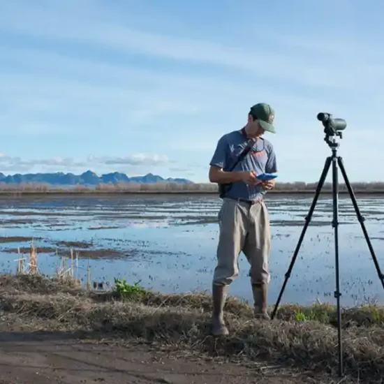
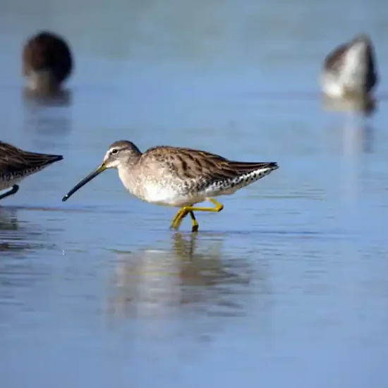
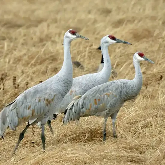
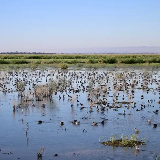
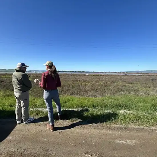
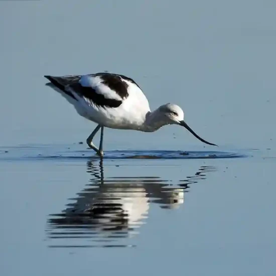
Photos: 1. Surveying shorebirds at a BirdReturns partner wetland. Greg Golet, The Nature Conservancy; 2. Long-billed dowitcher. Brianna Magner, The Nature Conservancy; 3. Sandhill crane. Jason Talbott, The Nature Conservancy. 4. Flooded farm field provides shorebird habitat at Davis Ranches. John Brennan, Davis Ranches; 5. BirdReturns staff consults with a landowner in the program. Jesirae Collins, Suisun Resource Conservation District; 6. American avocet. Brianna Magner, The Nature Conservancy
Yolo-Delta Planning Region
The Yolo-Delta Planning Region contains the Yolo and Delta basins which are centrally located near the city of Sacramento. The region is influenced by the tidal nature of the Sacramento-San Joaquin Delta and flooding by the many rivers and streams that bisect it. Historically, the region supported a large, tidally influenced, permanent freshwater marsh that was surrounded by seasonal wetlands that received overland flooding from rivers and streams.
Starting in the 1850’s much of the region was modified by levee and flood control projects and now the landscape is predominantly agricultural. While many wetlands have been lost, the region still contains several federal and state wildlife refuges and numerous private wetlands. In addition, rice and corn are both farmed extensively in the region and provide an important food source for migratory birds. As a result, the region still supports large numbers of waterfowl, shorebirds and other waterbirds.
The numerous rivers and streams of the region also support important remnant and restored riparian forest habitat that is especially important to breeding riparian landbirds. While still agricultural in nature, both basins are under increasing development pressure by expanding urban areas.
See this California Department of Water Resources StoryMap to learn about some of the projects that are restoring habitats and reducing flood risk in the Yolo Bypass-Cache Slough region, one of California’s most vital floodplains.

CVJV 2020 Plan
Yolo Basin
The Yolo Basin lies west of the Sacramento River, totals roughly 508,000 acres, and is approximately 50 miles long from Cache Creek in the north to the Montezuma Hills and Delta Basin in the south. Historically, overflow from the Sacramento River, American River and other streams would seasonally flood large areas of the basin creating expansive seasonal wetlands that would flow south to the permanent tidal wetlands of the Sacramento-San Joaquin Delta.
Like much of the Central Valley, levee and flood control structures drastically modified the hydrology of the basin. However, one of the flood control features, the Yolo Bypass, continues to direct high flows of the Sacramento and American Rivers into a low-lying area of the Yolo Basin.
Today, within the Yolo Bypass a substantial number of wetlands are protected by the Yolo Bypass Wildlife Area and numerous private waterfowl hunting clubs with conservation easements. In addition, much of the land in and around the Yolo Bypass is farmed to rice which supports both wintering and breeding waterbirds.

CVJV 2020 Plan
Delta Basin
The Delta Basin totals approximately 1,687,000 acres and extends 75 miles from the American River in the north to the Stanislaus River in the south. The Sierra Nevada foothills border the basin to the east, the Sacramento River to the Northwest and the Coast Range to the southwest. The convergence of the Sacramento, San Joaquin, Consumnes, Mokelumne, and Calaveras Rivers forms this basin, which was historically dominated by a large, permanent, freshwater tidal marsh. By the early 1900’s a 1,000 mile network of levees had been developed, which reclaimed 60 former wetland islands that were converted to agriculture. These islands are intensively leveed and farmed, with land subsidence, potential levee failure and saltwater intrusion all being major threats. Many islands are farmed to corn, which when winter flooded is a major contributor to habitat and food values for waterbirds in the basin. In addition, many managed wetlands have been restored on the islands by waterfowl hunting clubs and are now protected by conservation easements. The Consumnes River Preserve, Stone Lakes NWR and Lower Sherman Island Wildlife Area represent the major publicly protected wetlands in the basin. The Consumnes River Preserve and Stone Lakes NWR also provide substantial riparian forest habitat within the basin. The eastern portion of the basin has been greatly influenced by expanding urban areas and conversion of grassland habitat to permanent crops.