Understanding Pre-Industrial Sacramento Valley Floodplains
The flow of water is a driving force for human communities and natural processes in the Central Valley. The San Francisco Estuary Institute (SFEI), a CVJV partner, is working to identify natural landscape patterns that existed in the Sacramento Valley before the development of flood control and other modern infrastructure. SFEI’s Sacramento Valley Historical Ecology Study, now in its second phase, will contribute to efforts by the CVJV and many other organizations that work to conserve habitats for birds, salmon, and other wildlife while balancing water needs and flood control for farms and communities.
Go to SFEI’s interactive StoryMap, “A Valley Shaped by Water,” to see what the Sacramento Valley’s landscape looked like before Euro-American settlement and how it has changed over the past century and a half. The StoryMap focuses on the primary river-wetland corridor of the valley, including the Sacramento River, oxbow lakes sloughs, riverside forests, and main wetland areas.
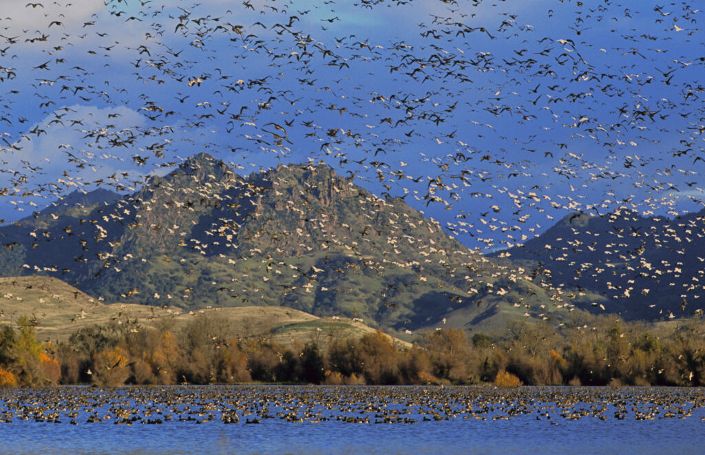
Photo: Butte Sink Wildlife Management Area with Sutter Buttes Mountain Range in background – USFWS